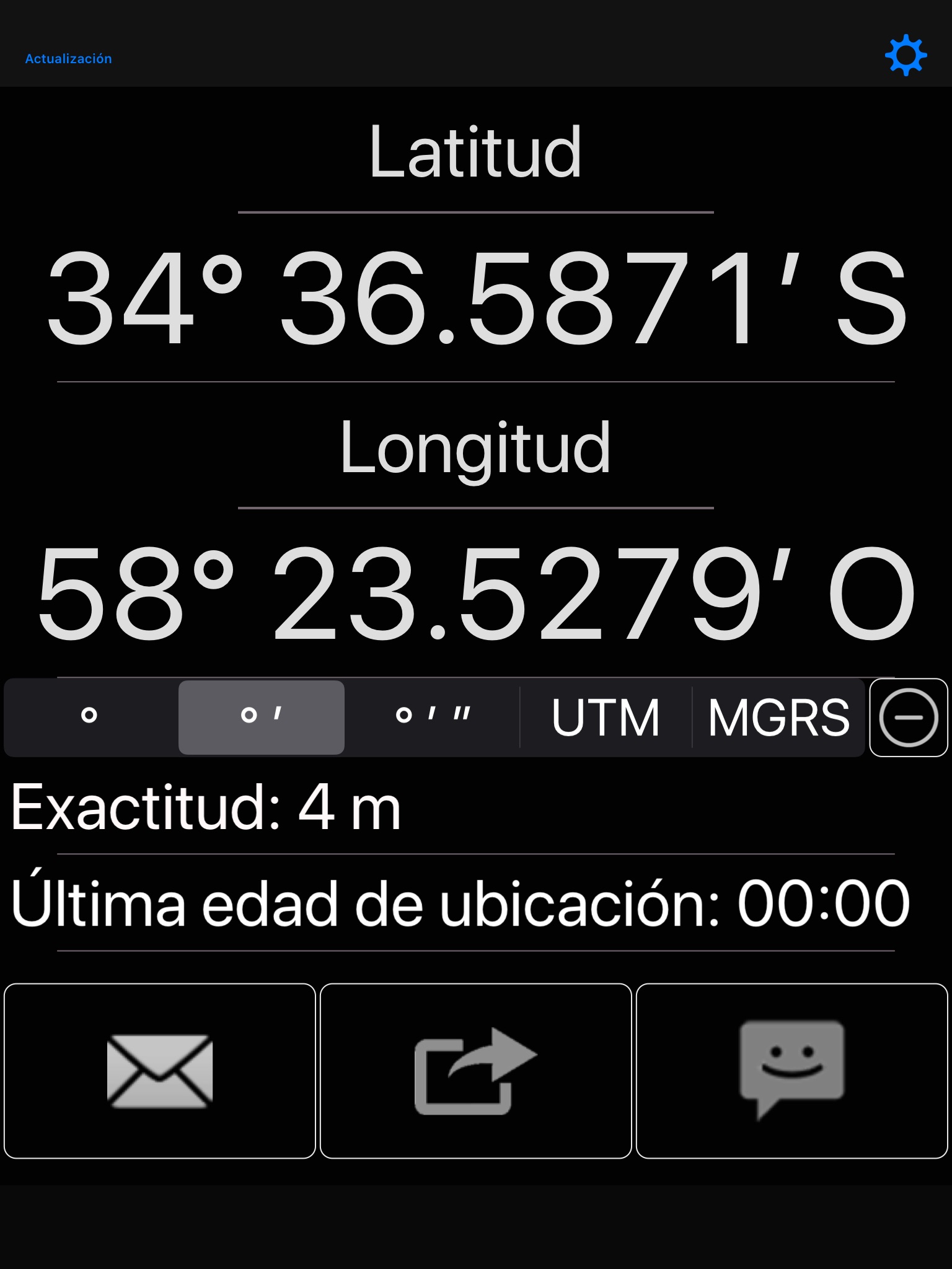
簡単に共有、電子メール、テキスト メッセージ、Twitter、Facebook、WhatsApp などあなたの GPS 場所を。 受信者は、それ上の位置とオンライン地図へのリンクを受け取ります。 よく屋根の下で GPS が動作しないことに注意してください。 最高の結果を得るには、屋外で使用します。
座標フォーマットがあります。
- 度
- 度、分
- 度、分、秒
- UTM (ユニバーサル横メルカトル)
- MGRS (ミリタリーグリッドリファレンスシステム)
次のマップ プロバイダーのいずれかで共有します。
- アップル マップ
- Google マップ ™
- Bing マップ ™
- OpenStreetMap ®
- Yandex.Maps
- HERE.com
- カスタム URL
他の機能:
- 座標をクリップボードにコピーします。(他の場所に貼り付ける) に
- 地図の URL をクリップボードにコピーします。
- 光や暗いテーマ間を選択します。
- メールを作成するときに自動入力する電子メールまたは電子メールを設定します。
- テキスト メッセージを作成するとき、電話番号を自動に設定します。
- カスタム マップの Url を作成します。詳細と例についてはヘルプ web ページを参照してください。
衛星GPS受信機がウォームアップし、正確な位置データを提供するには、通常数秒かかることに注意してください。 この間、セルラー タワーの三角測量によって報告された古い場所や不正確な場所を共有できます。 これが「最後の場所の年齢」と「正確さ」の読み出しが存在する理由です。 赤は悪いことを意味します。
座標形式を正しく選択が非常に重要であるにも注意してください。 基本 60 分、秒、100 基します。 たとえば、2.50 度は 2 度と 30 分です。
使用するデータムは WGS 84 です。
詳細については、web ページを参照してください。
English:
Easily share your GPS location via email, text messaging, Twitter, Facebook, WhatsApp, etc. The recipient receives a link to an online map with your position on it. Please note that GPS does not work well under a roof. For best results, use outdoors.
Coordinate formats include:
- Degrees
- Degrees, Minutes
- Degrees, Minutes, Seconds
- UTM (Universal Transverse Mercator)
- MGRS (Military Grid Reference System)
Share with any of the following map providers:
- Apple Maps
- Google Maps™
- Bing Maps™
- OpenStreetMap®
- Yandex.Maps
- HERE.com
- Custom URL
Other features:
- Copy coordinates to clipboard. (To paste elsewhere)
- Copy map URL to clipboard.
- Choose between light or dark theme.
- Set email or emails to autofill when composing mail.
- Set phone number to autofill when composing text message.
- Create custom map URLs. Please refer to the help webpage for more information and examples.
Note that it usually takes several seconds for the satellite GPS receiver to warm up and provide accurate position data. During this time, its possible to share an old location or an inaccurate location reported by cellular tower triangulation. This is why the last location age and accuracy readouts exist. Red means bad.
Please also note that choosing the correct coordinate format is very important. Minutes and seconds are base 60, not base 100. For example, 2.50 degrees is 2 degrees and 30 minutes.
The datum used is WGS-84.
Please visit the web page for more details.


